

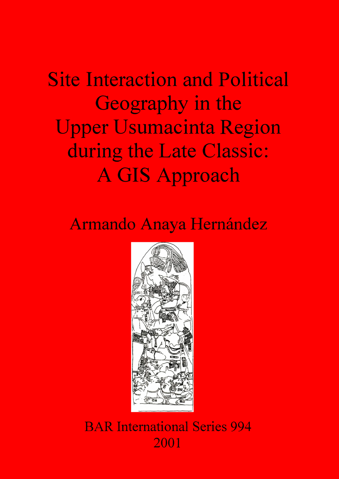
Site Interaction and Political Geography in the Upper Usumacinta Region during the Late Classic
A GIS Approach
Written by Armando Anaya Hernández
£26.00 – £37.00
Description
This work applies a conjunctive approach drawing from two lines of research to offer a reconstruction of the political organisation of the Upper Usumacinta region during the Late Classic: Geographic Information Systems (GIS) and analysis of hieroglyphic inscriptions. The author begins by creating a Digital Terrain Model for the region in order to model movement across the landscape, reconstructing territorial size and communication routes between polities based on cost-surface analysis. Using information from inscriptions combined with the ‘Gravity Model’, he then creates a series of maps that offer a reconstruction of the political organisation of the region, identifying critical points in the history of the region. These results offer a more dynamic view on how the political contestants of the Upper Usumacinta shifted their alliances from one to another of the hegemonic powers, and how these changes were reflected in the political geography of the region.
You might also like...
-
Upper Paleolithic Land Use in the Périgord
Randall WhitePrint Book £69.00
PDF eBook £48.00 -
El Agua en Mesoamérica y Aridoamérica
Geiser Gerardo Martín Medina and Juan García TargaPrint Book £98.00
PDF eBook £76.00 -
The Protoclassic in the Maya Lowlands
Duncan PringPrint Book £53.00
PDF eBook £37.00 -

Un approccio integrato al problema della ricostruzione della viabilità romana in Sicilia
Marco SfacteriaPrint Book £29.00
PDF eBook £21.00 -
The Historic Landscapes of Cornwall and Devon
Philip TreveilPrint Book £52.00
PDF eBook £37.00

